

Geographic Information Systems (GIS)
LSA’s Geographic Information Systems (GIS) practice delivers comprehensive, project specific geospatial solutions—from web applications, dashboards, spatial analysis, and modeling to imagery classification, field data collection, and GIS training. Supported by firmwide scientific and regulatory expertise, our GIS professionals produce high quality data, visualizations, and applications that help clients clearly communicate complex information to decision makers and stakeholders.




Meredith Canterbury
Director of GIS/Sr. GIS Specialist
(949) 553-0666
EMAIL
SERVICES
- GIS Project Management
- Custom GIS Solutions Architecture and Implementation
- Web GIS Application Development
- Mobile GIS Application Development
- Cartography
- GIS Training
- Spatial Data Integration and QA/QC
- UAV Image Capture and Processing
- Image Classification and Feature Extraction
- Field Data Collection
- Quantitative Spatial and Statistical Analysis
- Environmental Impact Analysis
- On-Call and In-House GIS Technical Support
- ArcGIS Hub Configuration and Deployment
- ArcGIS Solutions Configuration and Deployment
RELATED PROJECTS
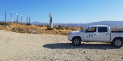
Coachella Valley, CA
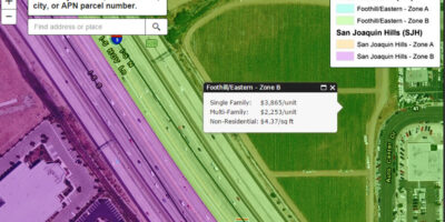
LSA has provided GIS training and consulting for the TCA on all aspects of ArcGIS.
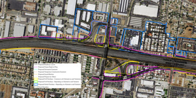
The State Route 91 (SR-91) Corridor Improvement Project (CIP) is a lane(s) addition project that spans approximately 12 miles along SR-91 and portions of I-15 within Orange and Riverside Counties.
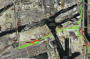
The Port of Long Beach (the Port) estimated that in the next 8 to 10 years, they will have invested more than $4.5 billion in Port improvements and created more than 5,000 construction jobs as a result of the improvements.